Adding Source Data
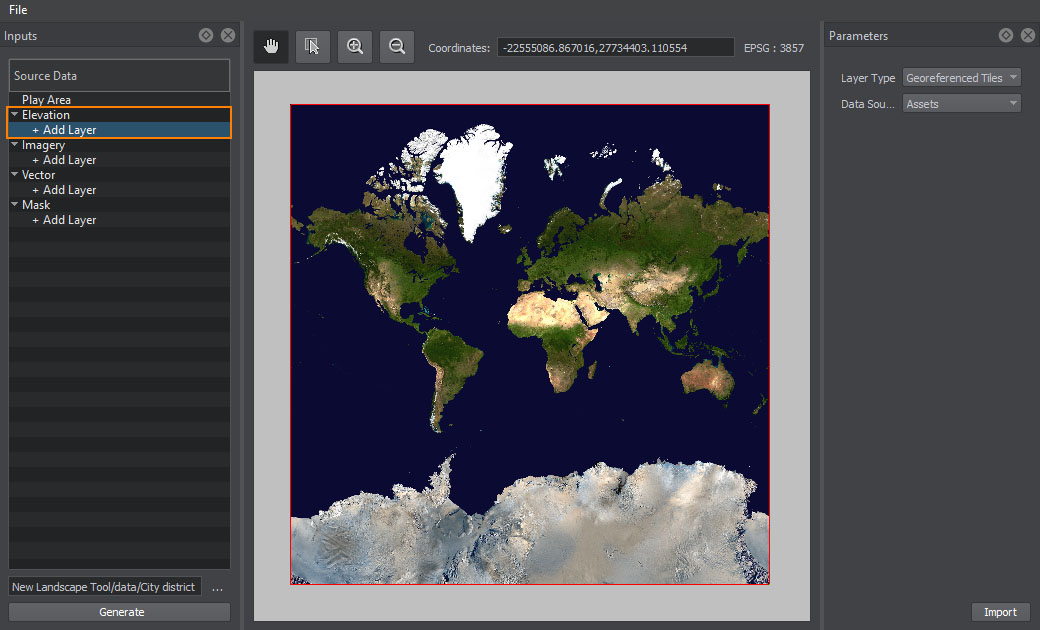
Generating the terrain and any objects located on it starts from defining the type of the data source you are planning to add.
All georeferenced data sources are divided into four types:
- Elevation / Height — data used to generate terrain geometry
- Imagery / Color — data used to generate textures for the terrain surface
- Vector (optional) — data used to generate roads, communications, buildings, landmarks, etc.
- Mask (optional) — data used to generate natural features of the terrain (details, grass, trees, etc.)
To add a new data layer, click + Add Layer in the corresponding section.

To remove the selected data layer, right-click the source and choose Remove in the drop-down list.
You can add multiple data layers. Thus, you can improve the structure of your data and manage all group members at once (enable/disable, add tags, modify parameters, etc.)
Last update:
29.04.2021
Помогите сделать статью лучше
Была ли эта статья полезной?
(или выберите слово/фразу и нажмите Ctrl+Enter