Configuring Landscape Terrain Details
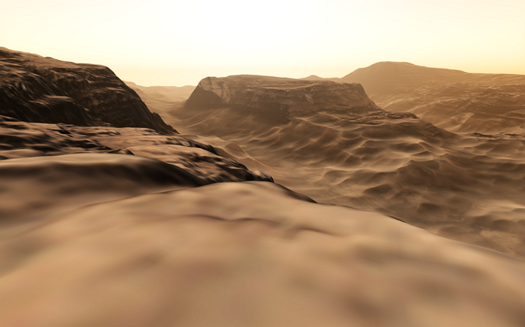
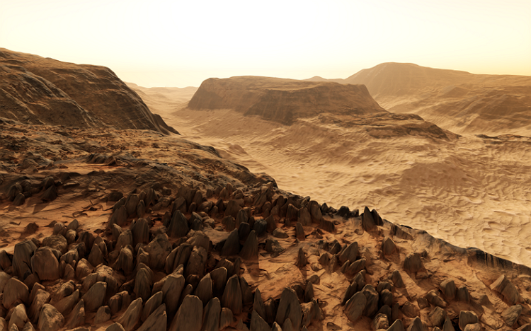
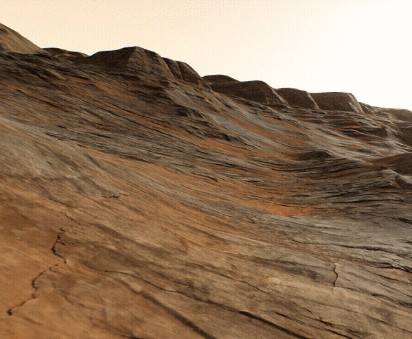
Details are intended for refinement of Landscape Terrain graphic data by means of tiled textures in order to achieve extreme density and realistic visual representation in close up views.
See Also#
- The TerrainDetail class to manage Landscape Terrain details via API
- The TerrainDetailMask class to manage detail masks of the Landscape Terrain Object via API
- The landscape_terrain_detail_base material for details
Details#
ObjectLandscapeTerrain stores visual settings for 20 detail masks intended for reaching better level of visual quality in close up views. Details represent arbitrary albedo, roughness and height (displacement) data, so you can drastically improve the look of the Landscape Terrain. Details are applied according to masks of Landscape Layer Map objects.
Detail settings available in ObjectLandscapeTerrain parameters allow defining the detail visual appearance, adding up to 1024 details to a mask and defining the material of each detail.
By combining multiple details under a single mask you can diversify the look of the surface a lot.
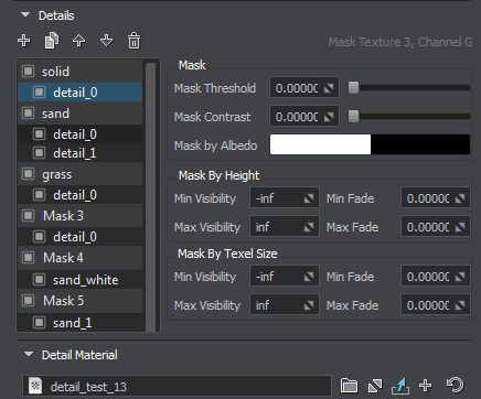
The list of detail masks displays the hierarchy of details for each of 20 detail masks. Using the buttons at the top you can control details and rearrange masks or details depending on what is selected:
 — create details for the selected masks.
 — clone the selected details.
 — move up the selected masks/details.
 — move down the selected masks/details.
 — delete the selected details.
Drag details using the mouse to set up the hierarchy, Double-click on a detail or a detail mask to rename it.
Detail parameters allow applying additional masking:
| Mask Threshold | Threshold starting from which the mask starts to be rendered. |
|---|---|
| Mask Contrast | Contrast of the mask. For each mask you can set a Dither amount enabling you to reduce graphical artefacts in case of increased Mask Contrast value set per-detail. This Dither amount is multiplied by the global dithering amount. |
| Mask by Albedo | Select an albedo color of Landscape Layer Masks in the world to be used as a mask. In this case, all areas on the terrain having selected color will be covered by the detail. Notice Control opacity by using the Alpha channel of the Mask by Albedo color. |
| Mask by Height | This group of parameters is used for mask modulation. For the areas specified by the mask, you can set up the range of heights in which the detail is visible.
|
| Mask by Texel Size | This group of parameters just like the previous one is used for mask modulation. For the areas specified by the mask, you can set up the range of texel sizes in which the detail is visible.
|
The Detail Material section contains settings of the landscape_terrain_detail_base material defining visual features of the current detail.
Internally each Landscape Layer Map stores its 20 masks in 5 RGBA8 mask textures. The following parameters display the info on the corresponding mask texture and can be used to access the mask via API:
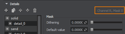
| Mask Texture | The index of the mask texture used. |
|---|---|
| Channel | The channel of the mask texture used. |
The information on this page is valid for UNIGINE 2.20 SDK.