蒙版参数
Mask is landcover data based on which natural features of the terrain are generated: details, grass, trees, etc.蒙版 是生成地形自然特征的土地覆盖数据:细节、草地、树木等。
Masks are added the same way as Elevation and Imagery, both online and offline data sources can be used. The data contained in a mask source can be filtered to fine-tune the use of the mask for a specific purpose.蒙版的添加方式与 高程和照片 相同,在线和离线数据源都可以使用。蒙版源中包含的数据可以过滤,以针对特定目的微调蒙版的使用。
An example of creating a Mask is given here.这里 给出了创建 蒙版 的示例。
Filters过滤器#
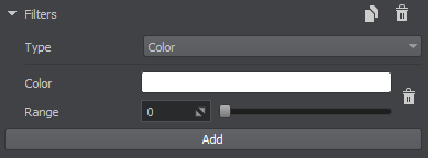
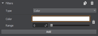
Filters select specific data from the data source for each type of the generated landcover object. There are three types of filters:过滤器为生成的地形覆盖对象的每种类型从数据源中选择特定的数据。过滤器有三种类型:

本页面上的信息适用于 UNIGINE 2.19 SDK.
最新更新:
2024-08-16
Help improve this article
Was this article helpful?
(or select a word/phrase and press Ctrl+Enter)


