添加源数据
 Generating the terrain and any objects located on it starts from defining the type of data source you are planning to add.生成地形和位于其上的任何对象从定义您计划添加的数据源的类型开始。
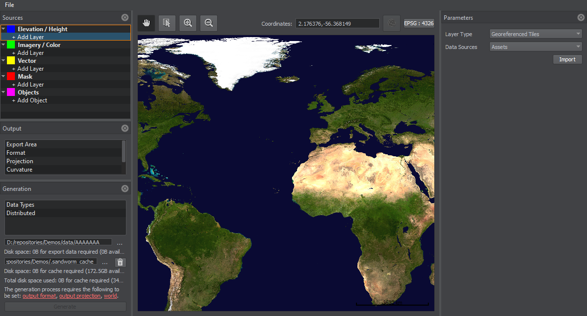
All georeferenced data sources are divided into four types:所有地理参考数据源分为四种类型:
- Elevation / Height — data used to generate terrain geometry.Elevation / Height — 用于生成地形几何的数据
- Imagery / Color — data used to generate textures for the terrain surface.Imagery / Color — 用于生成地形表面纹理的数据
- Vector — vector data based on which various objects are added onto the terrain: roads, communications, buildings, landmarks, etc.Vector——矢量数据的基础上,各种对象添加到地形:道路,通信,建筑,地标等。
- Mask — landcover data based on which natural features of the terrain are generated: details, grass, trees, etc.Mask——生成地形自然特征的土地覆盖数据:细节、草地、树木等。
- Objects — objects that are generated and distributed across the terrain based on the Mask or Vector data.Objects — 对象是基于Mask或Vector数据生成并分布在整个地形上的。
To add a new data layer, click + Add Layer in the corresponding section.要添加新数据层,请单击相应部分中的 + Add Layer。
To remove the selected data layer, right-click the source and choose Remove in the drop-down list.要移除选定的数据层,请右键单击源并在下拉列表中选择 Remove。
You can add multiple data layers. Thus, you can improve your data structure and manage all group members at once (enable/disable, add tags, modify parameters, etc.)您可以添加多个数据层。因此,您可以立即改进数据结构并管理所有组成员(启用/禁用、添加标签、修改参数等)
最新更新:
2022-03-10
Help improve this article
Was this article helpful?
(or select a word/phrase and press Ctrl+Enter)