道路
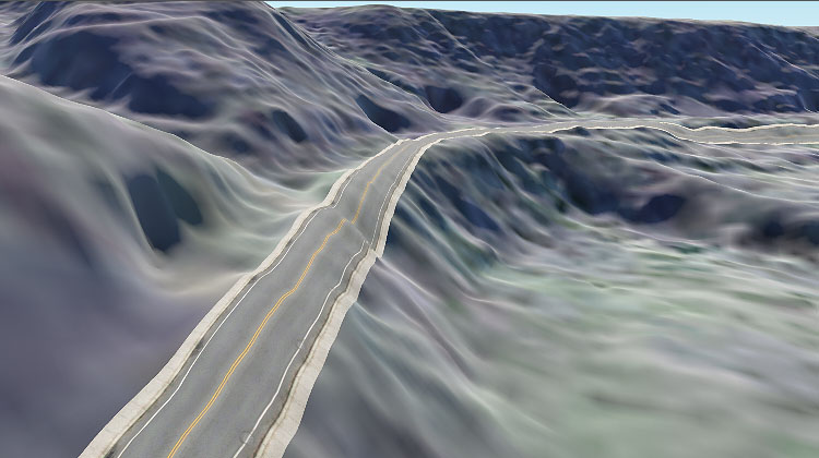
Roads are generated by tiling a decal created from a Mesh Static object along the vector data available.道路是通过沿着可用的矢量数据平铺从Mesh Static对象创建的贴花来生成的。

The object location and details are retrieved from vector data sources (*.shp and *.geojson assets). if you have other types of files, you may try adding them as External Files.对象位置和详细信息是从向量数据源(*.shp和*.geojson资源)中检索的。如果您有其他类型的文件,您可以尝试将它们添加为External Files。
Filter settings are described here.这里描述过滤器设置。
An example of creating a road is given here.这里给出一个创建道路的例子 。
Parameters参数#

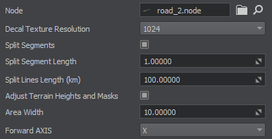
| Node |
The path to the primary object's *.node file.主对象的*.node文件的路径。 The object is created as Mesh Static and then exported to a .node file.对象被创建为Mesh Static,然后导出到.node文件。 |
|---|---|
| Decal Texture Resolution |
Resolution of the decal texture into which road projections are baked.道路投影烘焙到的贴花纹理的分辨率。 |
| Split Segments |
Flag indicating whether the segment splitting mode is enabled. In this mode, all line segments are divided into subsegments of the specified length (if this length does not exceed the length of the segment itself). This parameter can be used to provide smoother curving and better alignment of decals with the terrain.表示是否启用分段模式的标志。在这种模式下,所有线段按照指定的长度(如果该长度不超过线段本身的长度)划分为子段。该参数可用于提供更平滑的曲线和贴花与地形更好的对齐。 |
| Split Segment Length |
Length of the subsegment for splitting mode, in units.用于分裂模式的子段的长度,以单位表示。 注意
Splitting a segment into too many subsegments (i. e. using very small values) affects the generation time and memory consumption.将一个段分割成太多的子段(即使用非常小的值)会影响生成时间和内存消耗。 |
| Split Lines Length (km) | Roads are projected onto a terrain using the Decal object. A decal object might be too big, and it is split into segments for optimization purposes. Splitting the lines implies forming a grid with a cell size defined by this Split Lines Length value and making the grid cells individual Decal objects.使用贴花对象将道路投影到地形上。贴花对象可能太大,为了优化目的,它被分割成多个片段。分隔线条意味着用这个分隔线长度值定义的单元格大小形成网格,并使网格单元格单独贴花对象。 |
| Adjust Terrain Heights and Masks |
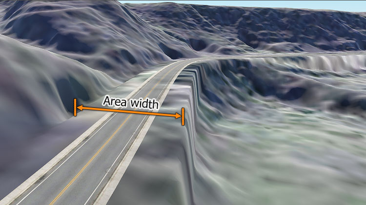
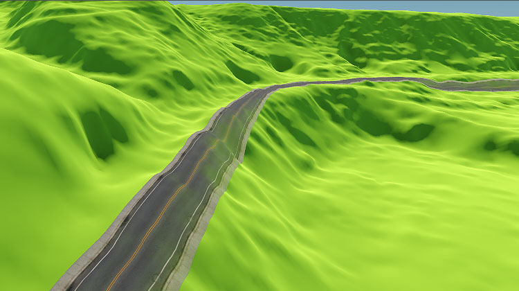
Flag indicating whether terrain heights and masks will be adjusted for generated roads. When this option is enabled, the following terrain data will be modified in the areas along the roads (vector data) having the width specified by the Area Width parameter:指示生成道路的地形高度和遮罩是否会调整的标志。当启用此选项时,以下地形数据将在具有宽度由Area Width参数指定的沿路区域(矢量数据)中被修改:
注意
|
| Area width |
Width of the area along the spline to be affected by heights and masks adjustment.沿样条的面积宽度要受高程和蒙版的影响而调整。 注意
Available only when heights and masks adjustment is enabled.只有当heights and masks adjustment启用。 |
| Forward axis | Axis along which the primary mesh is to be extruded or tiled.主网格沿其挤压或平铺的轴。 |


