This page has been translated automatically.
UnigineEditor
Interface Overview
Assets Workflow
Working With Projects
Adjusting Node Parameters
Setting Up Materials
Setting Up Properties
Landscape Tool
Using Editor Tools for Specific Tasks
Extending Editor Functionality
Programming
Fundamentals
Setting Up Development Environment
Usage Examples
UnigineScript
C++
C#
UUSL (Unified UNIGINE Shader Language)
File Formats
Rebuilding the Engine Tools
GUI
Double Precision Coordinates
API
Containers
Common Functionality
Controls-Related Classes
Engine-Related Classes
Filesystem Functionality
GUI-Related Classes
Math Functionality
Node-Related Classes
Objects-Related Classes
Networking Functionality
Pathfinding-Related Classes
Physics-Related Classes
Plugins-Related Classes
IG Plugin
CIGIConnector Plugin
Rendering-Related Classes
Warning! This version of documentation is OUTDATED, as it describes an older SDK version! Please switch to the documentation for the latest SDK version.
Warning! This version of documentation describes an old SDK version which is no longer supported! Please upgrade to the latest SDK version.

Landscape

The section contains settings that control rendering of Landscape Terrain.
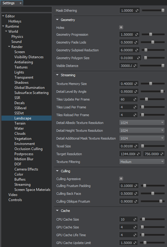
Landscape rendering settings

Landscape Terrain rendering settings

All the settings are also available via Console.

Geometry#

Mask Dithering Dither amount multiplier (in the [0.0f; 1.0f] range) used for rendering details of the landscape terrain. Dithering enables reduction of graphical artefacts in case of increased Mask Contrast values set per-detail. This is a global multiplier for dithering values set for each detail mask.
Holes Toggles rendering of decal-based terrain holes on and off.
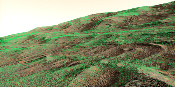
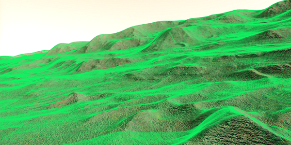
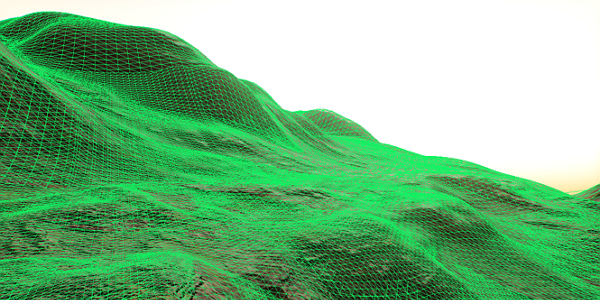
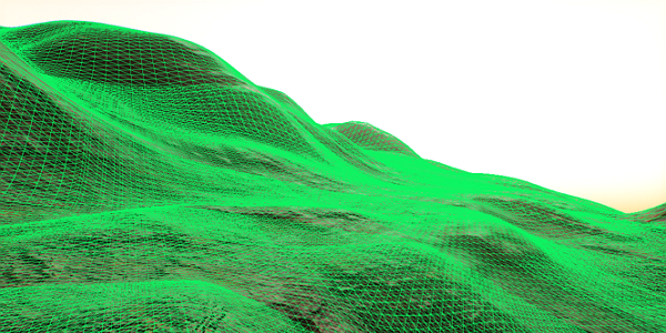
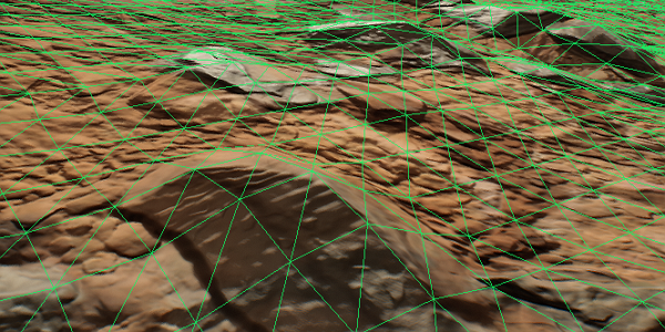
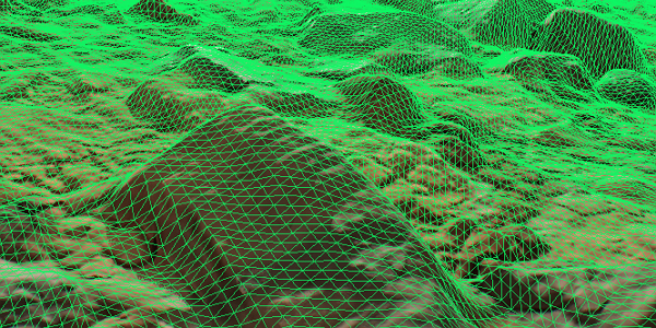
Geometry Progression Progression of the Landscape Terrain geometry tessellation in the [0,50] range.

Geometry Fade Lods Intensity of fading between levels of geometry tessellation in the [0,1] range.

Geometry Subpixel Reduction Minimum ratio of a polygon size (in screen space) to the size of an area seen in the viewport in the [0,50] range. If the ratio calculated for the polygon is less than this value, such polygon will be removed.

Geometry Polygon Size Size of Landscape Terrain polygons in the [0.0001,1000.0] range, in units. The value defines the maximum allowed density of Landscape Terrain geometry.

Visibility Distance Visibility distance of the Landscape Terrain in units.

Streaming#

Texture Memory Size Size of the Landscape Terrain render textures (albedo, normal and height). The value varies in the [0, 1] range:
  • 03072×3072 pixels (~200 MB of VRAM).
  • 116384×16384 pixels (~3.1GB of VRAM).
Detail Level By Angle MIP level offset for texels of detail textures on polygons that are turned to the camera at a low angle. The value varies in the [0, 1] range:
  • 0 — the lowest MIP level is used.
  • 1 — the highest MIP level is used.

Tiles Update Per Frame Number of Landscape Terrain tiles updated per frame when streamed in the [1,256] range.
Tiles Load Per Frame Number of Landscape Terrain tiles loaded per frame when streamed in the [1,64] range.
Tiles Reload Per Frame Number of tiles reloaded per frame after the surface of the Landscape Terrain is modified in the [1,64] range.
Detail Albedo Texture Resolution Resolution of detail albedo textures of the Landscape Terrain. The following values are available:
  • 64×64
  • 128×128
  • 256×256
  • 512×512
  • 1024×1024
  • 2048×2048
  • 4096×4096
  • 8192×8192
  • 16384×16384
Detail Height Texture Resolution Resolution of detail height textures of the Landscape Terrain. The following values are available:
  • 64×64
  • 128×128
  • 256×256
  • 512×512
  • 1024×1024
  • 2048×2048
  • 4096×4096
  • 8192×8192
  • 16384×16384
Detail Additional Mask Texture Resolution Resolution of detail additional mask textures of the Landscape Terrain. The following values are available:
  • 64×64
  • 128×128
  • 256×256
  • 512×512
  • 1024×1024
  • 2048×2048
  • 4096×4096
  • 8192×8192
  • 16384×16384
Texel Size Texel size of the Landscape Terrain render textures in the [0.0001,1.0] range, in units. The value defines the maximum allowed level of detail for the albedo, normal and height components of the Landscape Terrain.

Target Resolution Target resolution for the Landscape Terrain in pixels.
Texture Filtering Filtering mode between adjacent MIP levels of the render textures. The following values are available:
  • Low - use the lower MIP level
  • Medium - use the higher MIP level
  • High - linearly interpolate between adjacent MIP levels

Culling#

Culling Aggressive Toggles optimization of frustum culling on and off. When enabled, the number of culled polygons increases thereby increasing performance. If you have some issues with polygons rendering, try to disable the option (however, note that performance may drop).
Culling Frustum Padding Frustum padding value, by which the borders of the current frustum are increased. Frustum culling is performed for the frustum of the increased size. By the maximum value of 1, the frustum borders will be increased by the size of the current frustum.
Culling Back Face Threshold of backface culling. The value is the multiplier for the angle between the tessellation patch normal and the camera's view direction and used for culling the tessellation patches that are turned to the camera by their back faces. The higher the value, the less the angle between the patch normal and the camera's direction is required for culling this patch.
Culling Oblique Frustum Multiplier for culling of tessellation patches beyond the oblique frustum plane. The higher the value, the more patches will be culled.

Cache#

CPU Cache Size Limit of CPU cache in percentage of the total memory.
GPU Cache Size Limit of cache memory in percentage of the total GPU memory.
GPU Cache Life Time GPU cache lifetime in frames.
Last update: 2020-07-31
Build: ()