Search the Community
Showing results for tags 'qgis'.
Found 1 result
-
[SOLVED] Trouble getting landcover masks from QGIS to Unigine
david.norlin posted a topic in World Design
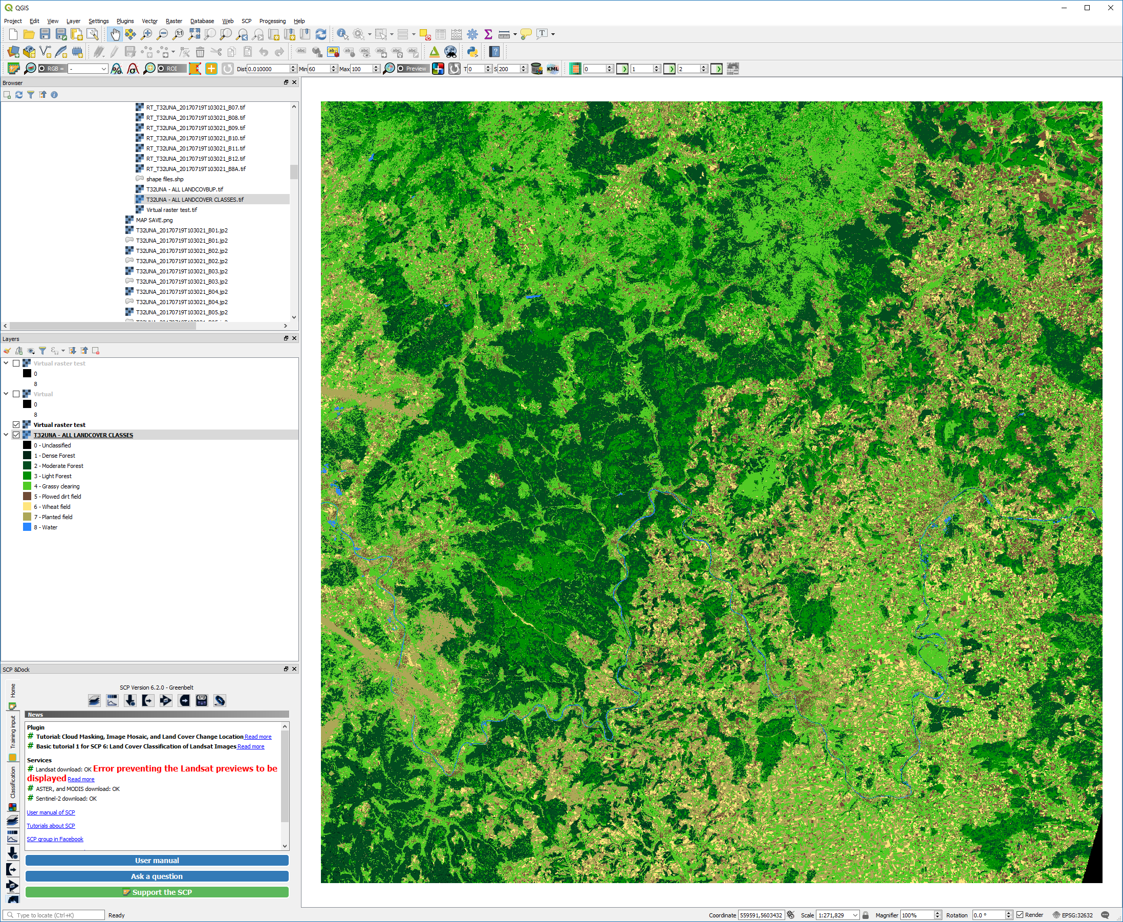
First of all, I know this isn't specifically a Unigine question, but since it's directly related and I can't get things working in Unigine without it, I'm going to ask here with the hope that someone has an idea or has encountered it before. I am running into issues trying to get masks I created from imagery (using QGIS with the SCP plugin) into Unigine. I understand that Unigine requires RGB single channel or three channel, but for the life of me, I cannot export from QGIS in a format that Unigine will accept - everything is in greyscale. The file is currently a tif, and it does map correctly in the landscape editor based on WGS84, but when I open it in Photoshop, the whole thing is completely black and featureless, and when I try to set trees or other foliage to go along with the mask, Unigine doesn't generate anything. I have tried searching on several GIS forums for an answer, but I think I am probably not asking in the right terms or I am going about this wrong. I've attached a picture of the end-result mask as it is in QGIS, and if I understand the documentation correctly, I could then use the RGB colors to specify a mask in Unigine (right?) Initially I thought Houdini would be the big hurdle, but it seems this is the real challenge in the near term! Any help would be appreciated. Thanks. EDIT: If anyone has a landcover mask they'd be willing to donate just so I can see the file type, open it up, and look at the format, what would also be extremely helpful.