Jump to content

Search the Community

Showing results for tags 'elevation'.

  • Search By Tags

    Type tags separated by commas.
  • Search By Author

Content Type


Forums

  • Welcome to UNIGINE Forums
    • News & Announcements
    • Getting started
  • Development
    • Content Creation
    • World Design
    • Rendering
    • Animation
    • Physics, Navigation and Path Finding
    • UI Systems
    • Sound & Video
    • Editor
    • C++ Programming
    • C# Programming
    • Networking
    • Sim IG (Image Generator)
    • VR Discussions
    • General
  • Improving UNIGINE
    • Documentation
    • Feedback for UNIGINE team
    • Bug Reports
    • Unigine SDK Beta feedback
  • Community
    • Add-on Store (https://store.unigine.com/)
    • Showcase
    • Collaboration
    • Tools, Plugins, Materials & Tutorials
    • General Discussions
  • Legacy
    • UnigineScript

Find results in...

Find results that contain...


Date Created

  • Start

    End


Last Updated

  • Start

    End


Filter by number of...

Found 1 result

  1. Elevation scaling best practices?

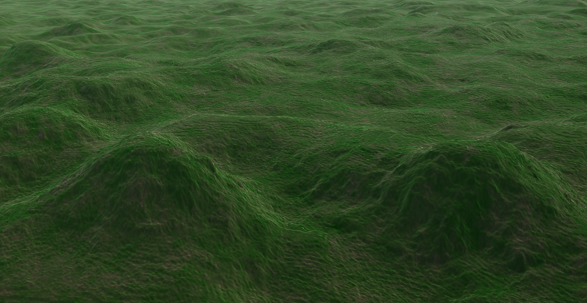
    We are encountering a scaling issue after generation of our terrain. It seems as though each pixel/polygon is exponentially higher than it should be (this is at 1m/px resolution, georeferenced). This seems like a very easy fix - just adjust scale, but I am having a hard time figuring out what the actual height of the terrain is in-engine, so scaling it is guesswork. This is real-world terrain, so accuracy is crucial. What is the best way to to properly scale a terrain? Is the max value displayed in Unigine somewhere? Also, in the second pic, what causes this unusual plateau-like feature? Is there a terrain bounding box in effect?
×
×
  • Create New...